Placeholder
Alert here

Create an Account

Some text here

Import Trip Plans

You or someone using this computer or device previously created Trip Plans.
What should we do with these plans?
Make these Trip Plans part of my account
Discard these Trip Plans

Login

Some text here

Password Reset

Please enter the email you used to set up your account.
We'll send a link to use to reset your password.

Check Your Email

If there is an account with the email address , we will send you a link to reset your password

Trails

The real desert roads of Mohave County take you off-road through uninhibited natural and manmade treasures that are hidden throughout the desert. Enjoy the quiet scenery in a high-clearance, all-wheel drive vehicle, Jeep, or off-highway vehicle, also known as side-by-sides (SxS). Mohave County also features the northern loop of the epic Arizona Peace Trail, the longest off-road loop trail in the U.S.

The Arizona Game and Fish Department regulates the use of off-highway vehicles (OHVs). A brief required course is required to obtain a license and decal, all which can be completed online. 

Arizona Peace Trail

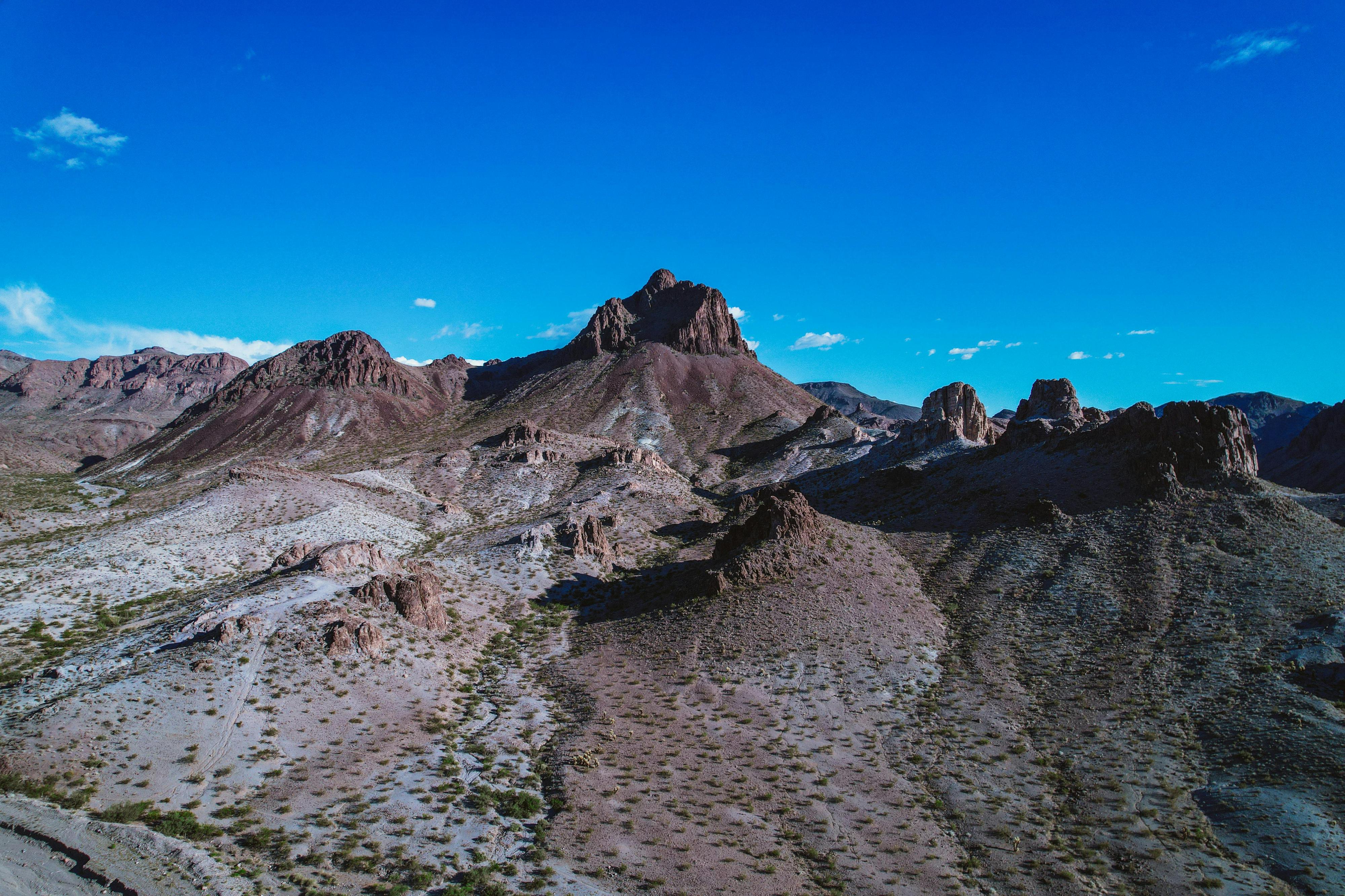
The epic 675-mile Arizona Peace Trail routes off-road enthusiasts along the western border of Arizona through Mohave, La Paz, and Yuma Counties. The trail includes multiple points of interest from the famous painted rocks in Chloride to mountain nooks and crannies surrounding Kingman. The trail can be explored in segments or all at once with a recommended 5-day journey that includes 8-hour days of off-roading. The Arizona Peace Trail atlas is an excellent resource to explore the true desert roads throughout Mohave County. 

Hualapai

The U.S. Bureau of Land Management manages the Moss Wash OHV Trail that meanders through the mountains to the historic Gold King Mansion on the outskirts of the Hualapai Mountains. The Arizona Peace Trail also features a segment from Wikieup to Kingman through the stunning backcountry of the Hualapais. 

Founder’s Cabin / Dollar Cabin

An abandoned cabin outside of Lake Havasu City is a popular off-road destination to have a picnic and place a dollar bill on the cabin walls and is located in the same area as the incredible rock formation of Rovey’s Needle. The Arizona Peace Trail atlas is an excellent resource for information to access both desert features. OnX Offroad also features a route (not endorsed by Mohave County).

Bunker Bar

The Bunker Bar is the only off-road bar in the middle of the desert in Mohave County. This destination features live music and food on the weekends from October through mid-April. 

Standard Wash

The U.S. Bureau of Land Management oversees Standard Wash, an unrestricted OHV area just south of Lake Havasu City. 

Hiking Trails

Trails meander through the peaceful quiet of the desert throughout Mohave County. Hikers should focus on exploring the desert between October-April, and only consider short, easy hikes in the early morning hours (between 6-9am) during summer months and take twice the amount of anticipated water needed. 

SARA Park

SARA Park is an 1,100-acre park that features hiking and mountain biking trails, including the infamous Slot Canyon (aka Sara’s Crack) and trails leading to the shoreline, including the seven-mile round trip hike to the lighthouse at Pilot Rock. There are QR codes available at the trailhead for trail directions. In addition to SARA Park hikes, you can find other stunning hikes in the Havasu area at: Go Lake Havasu

BLM Trails

The U.S. Bureau of Land Management Colorado River District manages hiking trails from northern Mohave County to Lake Havasu City. 

Hualapai Mountain Park

Hualapai Mountain Park features approximately 10 miles of scenic trails, welcoming hikers, mountain bikers, and horseback riders alike. Nestled in the heights of the Hualapai Mountains, the trail system offers sweeping views of the desert landscape below and distant mountain ranges. Originally developed in 1936 as part of Franklin D. Roosevelt’s New Deal, the trails were built by the Civilian Conservation Corps.

Cerbat Foothills Recreation Area

The Cerbat Foothills Recreation Area (CFRA) spans over 11,000 acres of diverse terrain, made up of a mix of city, county, state, federal, and private lands. This expansive area lies within a transitional zone where Mojave Desert scrub meets semi-desert grassland. Its varied landscape supports an array of native plant life, including mesquite, creosote, yucca, and several species of cactus like prickly pear and beavertail. Thanks to this rich environment, the CFRA provides important habitat for a wide range of wildlife—mule deer, coyotes, and foxes, as well as the Sonoran desert tortoise, raptors, mourning doves, Gambel’s quail, and numerous smaller birds, reptiles, and mammals.

Camp Beale Loop Trail

The Camp Beale Loop Trail is a non-motorized, multi-use path for hiking, mountain biking, and horseback riding. It offers a 5% average grade, with some sections reaching 10-12%. The trail can be traveled clockwise or counterclockwise, with the clockwise route featuring a longer, less steep climb and a shorter, steeper descent. The counterclockwise option starts with a steeper ascent. From the top, enjoy views of Kingman, the Hualapai Mountains, the Black Mountains, and Golden Valley. Be aware that the trail crosses open range land, so livestock may be encountered.

Monolith Garden Trail

The Monolith Garden Trail, a moderate 8.5-mile loop, welcomes hikers, mountain bikers, horseback riders, and trail runners. Part of the Cerbat Foothills Recreation Area, this trail takes you through Mojave Desert landscapes and past striking volcanic rock formations. With minimal shade and no water along the way, it’s important to plan accordingly. The trail also connects to the Camp Beale Loop Trail, which is managed by the City of Kingman.

Dolan Springs Trail System

The Dolan Springs Trail System is located in the unincorporated town of Dolan Springs, AZ, spanning 480 acres of Bureau of Land Management land at the northern edge of the Mount Tipton Wilderness Area in the Cerbat Mountains. The trailhead can be accessed east of town, just off Pierce Ferry Road.

Open to hikers, joggers, equestrians, mountain bikers, and nature lovers of all ages, the trails are mostly flat and well-marked. Visitors should come prepared with sun protection and plenty of water, and as always, pack out whatever you bring in.

Pilot Rock Trail

The Pilot Rock Trail is a 7-mile round-trip hike through diverse desert landscapes, ending at the Pilot Rock campsites on Lake Havasu. The trail follows an old mining road to a red lava rock outcrop once used by steamboat pilots for navigation. Today, a blinking navigation light atop Pilot Rock guides modern boaters at night.

Opening in a new tab...